Temple Basin

Location

West Coast
New Zealand
42° 55' 14.9736" S, 171° 40' 27.1452" E
NZ
General info: 

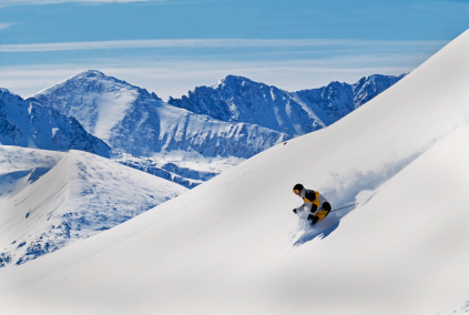
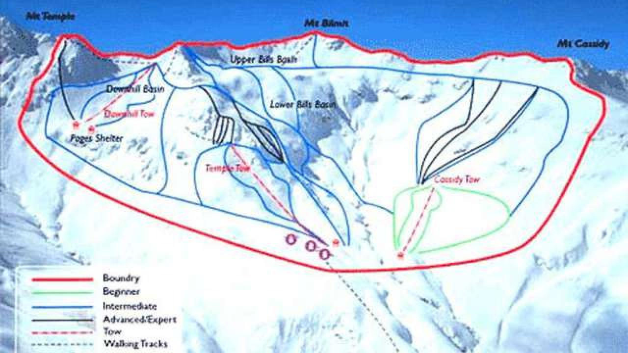
Temple Basin is located on the Main Divide of the Southern Alps at the heart of Arthur's Pass National Park. It faces north-west and offers long sunny days over 320 hectares of skiable terrain with a vertical drop of 430 meters. The car park is located beside State Highway 73 and is a 45 minute walk in good conditions from the ski field.

BASE: 1326ft
SUMMIT: 1922ft
VERTICAL DROP: 430ft

NO. OF. LIFTS: 4
Gondolas: 0
Chairs: 0
Surface: 4

You might be interested in

BASE: 4757ft
SUMMIT: 5282ft
VERTICAL DROP: 524ft

NO. OF. LIFTS: 4
Gondolas: 0
Chairs: 0
Surface: 4

BASE: 4921ft
SUMMIT: 7217ft
VERTICAL DROP: 2296ft

NO. OF. LIFTS: 13
Gondolas: 0
Chairs: 5
Surface: 8

The ski area Almenwelt LOFER, situated in Salzburg’s Saalachtal, has many well-groomed slopes to offer.

The ski area Alpbachtal offers very diverse slopes. If you spend your winter vacation in the Alpbachtal, you can also look forward to spacious freeride areas.

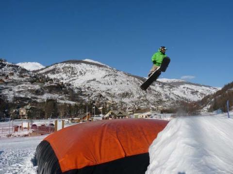
30 km of ski area with 16 trails at blue, red and black, school and reserved snow park area, slopes of all kinds and for all abilities.

Alpine Valley in Chesterfield probably gets more natural snowfall than any other ski area in Ohio and is the only one with wooded trails.