Location
West Coast
New Zealand
42° 55' 14.9736" S, 171° 40' 27.1452" E
See map: Google Maps
NZ
General info:
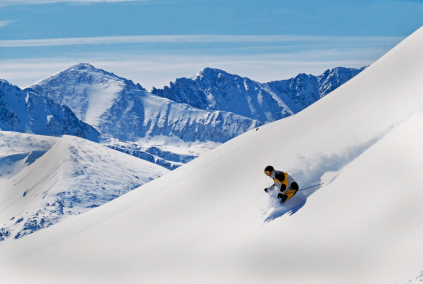
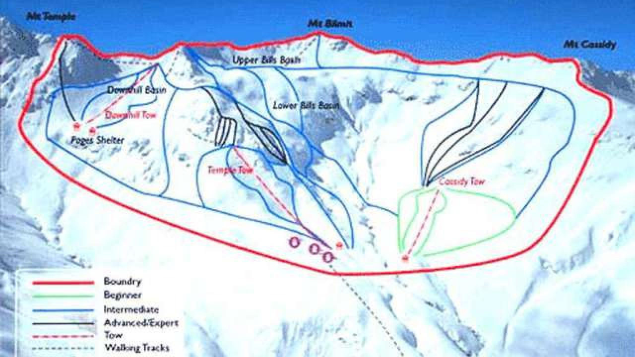
Temple Basin is located on the Main Divide of the Southern Alps at the heart of Arthur's Pass National Park. It faces north-west and offers long sunny days over 320 hectares of skiable terrain with a vertical drop of 430 meters. The car park is located beside State Highway 73 and is a 45 minute walk in good conditions from the ski field.
BASE: 1326ft
SUMMIT: 1922ft
VERTICAL DROP: 430ft
NO. OF. LIFTS: 4
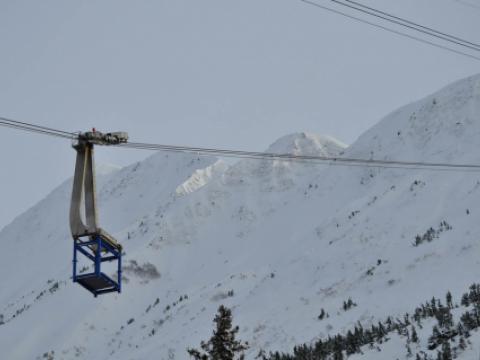
Gondolas: 0
Chairs: 0
Surface: 4


