Temple Basin

Location

West Coast
New Zealand
42° 55' 14.9736" S, 171° 40' 27.1452" E
NZ
General info: 

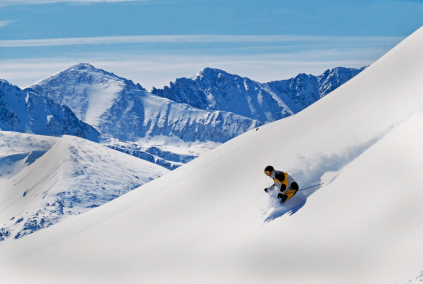
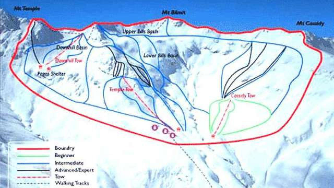
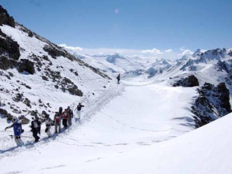
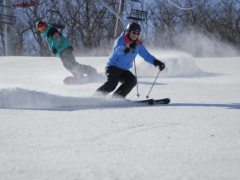
Temple Basin is located on the Main Divide of the Southern Alps at the heart of Arthur's Pass National Park. It faces north-west and offers long sunny days over 320 hectares of skiable terrain with a vertical drop of 430 meters. The car park is located beside State Highway 73 and is a 45 minute walk in good conditions from the ski field.

BASE: 1326ft
SUMMIT: 1922ft
VERTICAL DROP: 430ft

NO. OF. LIFTS: 4
Gondolas: 0
Chairs: 0
Surface: 4

You might be interested in

BASE: 1804ft
SUMMIT: 2296ft
VERTICAL DROP: 492ft

NO. OF. LIFTS: 4
Gondolas: 0
Chairs: 0
Surface: 4

Skiers and riders have been enjoying Mt. La Crosse since 1959. It has one of Wisconsin's longest ski runs in Mileaway, and one of Mid-America's steepest trail in Damnation. The 512-foot vertical is big for the Badger State.

Mount Snow offers a wide variety of terrain and challenge for all abilities. The resort is located near major metropolitan areas such as New York City, Boston, Albany, and Hartford.

Mt. Sunapee is southern New Hampshire's biggest mountain. The ski resort is located in close proximity to Interstates I-89 and I-91.

Right on the French-Italian border, the ski resort of Montgenèvre combines the charm of a traditional mountain village with the class of a world class international ski area: The Milky Way, in which Montgenevre is part, has over 400km of

Mountain Creek is a four season resort that transforms itself into a winter playground every December.