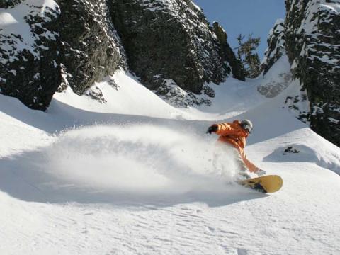
Temple Basin

Location

West Coast
New Zealand
42° 55' 14.9736" S, 171° 40' 27.1452" E
NZ
General info: 

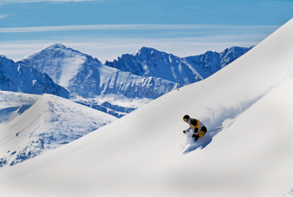
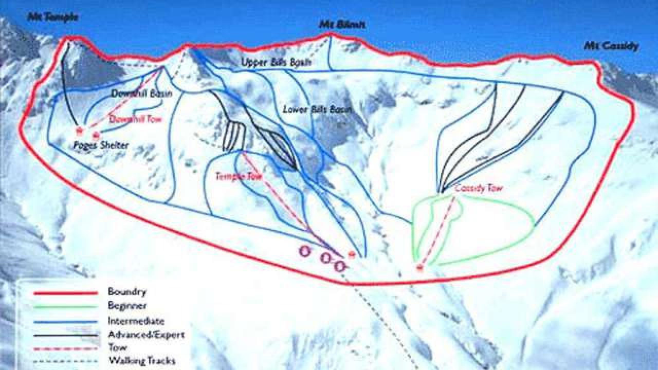
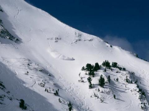
Temple Basin is located on the Main Divide of the Southern Alps at the heart of Arthur's Pass National Park. It faces north-west and offers long sunny days over 320 hectares of skiable terrain with a vertical drop of 430 meters. The car park is located beside State Highway 73 and is a 45 minute walk in good conditions from the ski field.

BASE: 1326ft
SUMMIT: 1922ft
VERTICAL DROP: 430ft

NO. OF. LIFTS: 4
Gondolas: 0
Chairs: 0
Surface: 4

You might be interested in

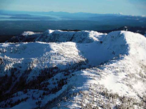
Nestled into the Beaufort Mountain range overlooking Vancouver Island and The Pacific, Mount Washington is a true snow collector, averaging more than 30 feet of snow every season.

It starts, as they like to say, with their terrain.

Mt. Baker Ski Area, in Northern Washington, is a powderhound mecca.

Morgins, a chocolate box mountain village, nestled between pine forests and meadows on the Swiss French border, has been welcoming visitors for over a hundred years.

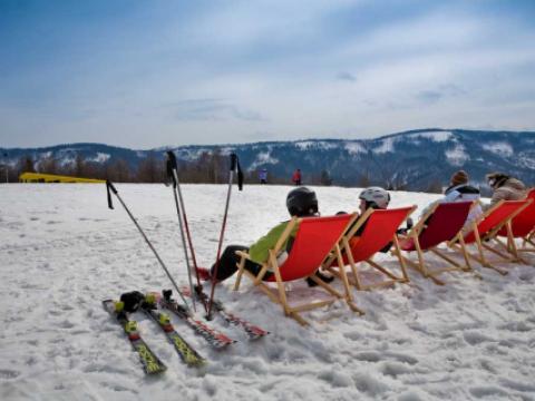
Zar mountain has ski trail with length of 1600m is one of the longest ski slopes in the Beskid Mountains. Ski resort has artificial snow system, slopes are prepared every day. Lighting and sound system allows to ski to the late hours.

Mission Ridge Ski & Board Resort, located on the eastern side of Washington's Cascade Mountains, is know for their light, dry powder snow as well as over 300 days of sunshine each year.