Temple Basin

Location

West Coast
New Zealand
42° 55' 14.9736" S, 171° 40' 27.1452" E
NZ
General info: 

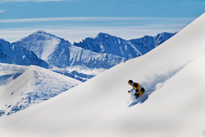
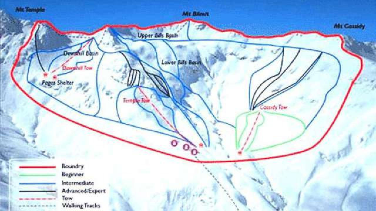
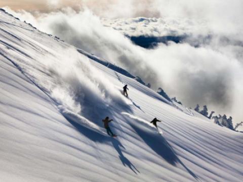
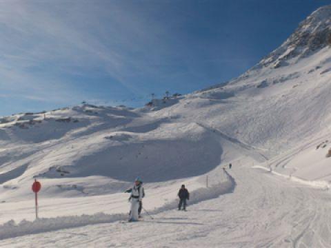
Temple Basin is located on the Main Divide of the Southern Alps at the heart of Arthur's Pass National Park. It faces north-west and offers long sunny days over 320 hectares of skiable terrain with a vertical drop of 430 meters. The car park is located beside State Highway 73 and is a 45 minute walk in good conditions from the ski field.

BASE: 1326ft
SUMMIT: 1922ft
VERTICAL DROP: 430ft

NO. OF. LIFTS: 4
Gondolas: 0
Chairs: 0
Surface: 4

You might be interested in

Mt. Ashland, just north of the California border, is halfway between San Francisco and Portland, eight 8 miles off Interstate 5.

Mt. Bachelor, located just minutes from Bend, Sunriver and Sisters, OR, is one of the Pacific Northwest’s largest ski areas. Mt. Bachelor has nearly 3,700 acres of skiable terrains, with every type of terrain available. Mt.

Mt. Hood Meadows offers distinctive trails, ranging from smooth, slightly graded runs in beginner's area to steep slopes in Heather Canyon. Located on the sunny, wind-protected east side of Mt.

Starting with the first ski runs cut in 1926, Mt. Norquay now encompasses a wide variety of terrain and ticket options to suit everyone.

The ski area Mölltaler Gletscher, close to Flattach, is the only glacier ski area in Carinthia. The highest piste is located on 2800 m.

Located in the southern part of the Jura mountains, Monts Jura is made up of three Alpine ski areas: - Lélex - Crozet, 15 minutes from Geneva, - Mijoux – La Faucille, 10 minutes from Gex - Menthières, 15 minutes from Bellegarde.