Temple Basin

Location

West Coast
New Zealand
42° 55' 14.9736" S, 171° 40' 27.1452" E
NZ
General info: 

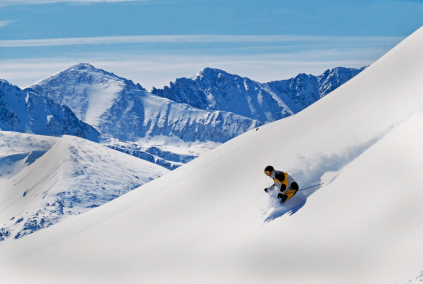
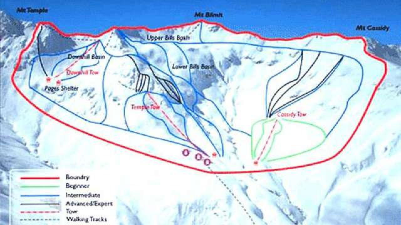
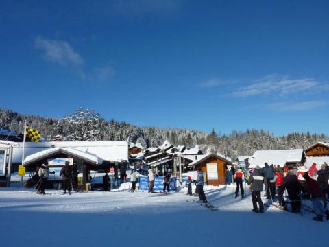
Temple Basin is located on the Main Divide of the Southern Alps at the heart of Arthur's Pass National Park. It faces north-west and offers long sunny days over 320 hectares of skiable terrain with a vertical drop of 430 meters. The car park is located beside State Highway 73 and is a 45 minute walk in good conditions from the ski field.

BASE: 1326ft
SUMMIT: 1922ft
VERTICAL DROP: 430ft

NO. OF. LIFTS: 4
Gondolas: 0
Chairs: 0
Surface: 4

You might be interested in

Morillon it's the choice between two little villages interlinked by a ski slope and a 10-seater ultra-fast gondola: - Firstly, the traditional village of Morillon which is home to 500 permanent residents.

Mt. Hood Skibowl is home to the largest night ski area in the United States and is the closest ski resort to Portland, Oregon.

BASE: 1961ft
SUMMIT: 2946ft
VERTICAL DROP: 984ft

NO. OF. LIFTS: 6
Gondolas: 0
Chairs: 1
Surface: 5

Morzine is one of 14 resorts in the massive Portes du Soleil ski area, which spans the Franco-Swiss border.

Mt. Spokane, 25 miles from Spokane, Wash., enjoys dry snow for nearly the whole season.

BASE: 2326ft
SUMMIT: 3428ft
VERTICAL DROP: 1102ft

NO. OF. LIFTS: 1
Gondolas: 0
Chairs: 1
Surface: 0