White Cliffs of Dover

Location

Kent
United Kingdom
51° 8' 15.936" N, 1° 22' 4.476" E
GB
General info: 

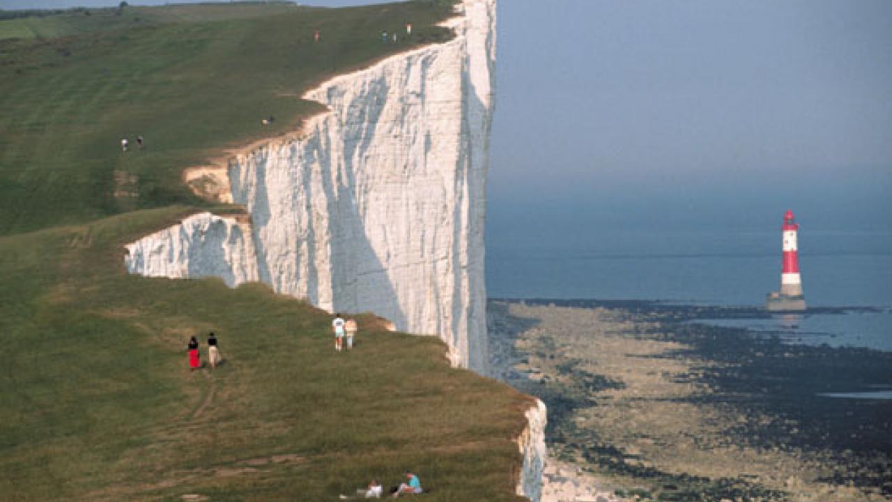
The White Cliffs of Dover are one of England’s most recognizable landmarks. The sheer cliffs of white chalk mark the closest part of England and reach up to 350 feet (110 m). The cliffs spread 10 miles east and west from the town of Dover

For centuries the cliffs of Dover have been a symbol of Englands defiant spirit, standing watch over the Channel. However the cliffs are slowly crumbling away due to erosion by waves, rain, wind and freezing. The cliffs retreat at an average rate of about half an inch a year. Bigger collapses take place occasionally, last time in 2012.

Getting there: 

By train:
Dover Priory station is about 2½ miles away. There is an hourly high-speed train service from London St Pancras or slower services from London Victoria or London Charing Cross. The walk from the train station to the cliffs is about 40 minutes. Also taxis available at the station.

By road:
The Dover Cliffs visitor center is easy to find and has paid parking for 300 cars next to the visitor centre.

Costs: 

The car park for normal car is £3,5. Address: Langdon Cliffs, Upper Road, Dover, Kent, CT16 1HJ

Opening times (summertime):
The coastline and car park 08:00 - 19:00
Visitor center 10:00 - 17:00


Interesting places nearby

The ski area Damüls is popular with families. The broad slopes range from easy to difficult and almost all of the pistes can be prepared with artificial snowmaking equipment.

Nestling in a unique mountain scenery, Davos is the highest town in Europe and also one of its largest winter sports areas. The ski resort offers varied slopes ranging from an altitude of 1,560 to 2,844 m.

Skidome De Uithof is very close to the beach near Kijkduin situated. Snowfun is possible 365 days a year on a 211 meter long slope. The Skidome offers 4 lifts (2 drag lifts and 2 magic carpets), so waiting time is limited.

The ski area Diedamskopf in the Bregenzerwald offers well-groomed slopes for all levels of difficulty. The Diedamskopf with an altitude of 2090 m is Schoppernau’s local mountain and located in Vorarlberg.

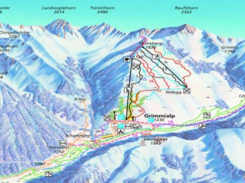
BASE: 1230ft
SUMMIT: 1830ft
VERTICAL DROP: 0ft

NO. OF. LIFTS: 3
Gondolas: 0
Chairs: 1
Surface: 2

The Simmental - Diemtigtal valley contains several ski areas. The first and largest at Wiriehorn has 15 KM of trails and a five kilometre (just over three mile) sledge run.