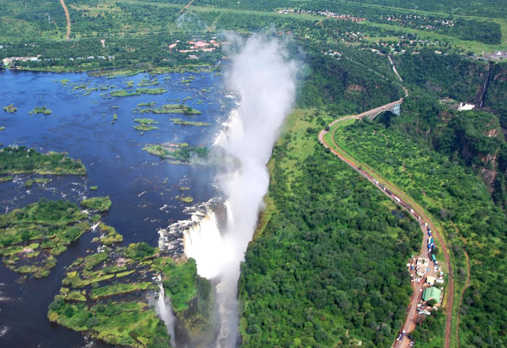
Location
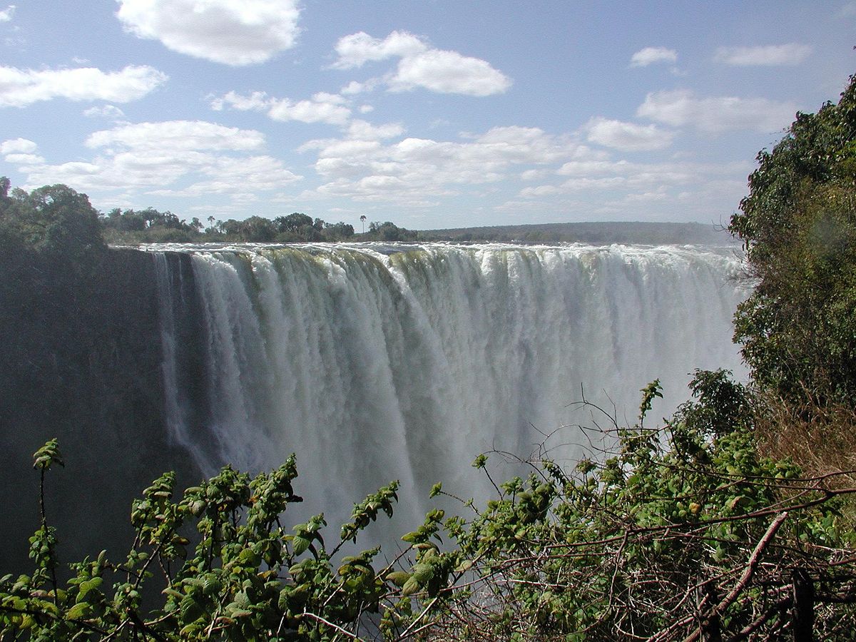
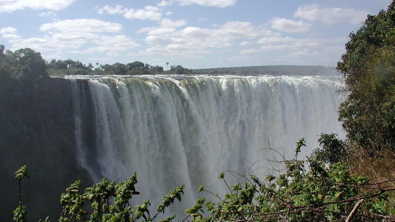
The rising mist of Victoria Falls can be seen more than 20 km away. Getting closer, you will hear the thunder of the falling water. Once you experience the falls, the origin of indigenous name Mosi-oa-Tunya (Smoke that Thunders) becomes obvious.
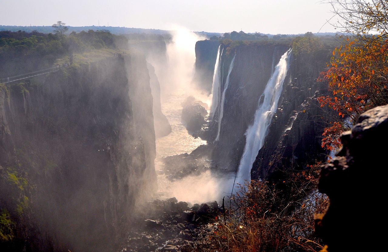
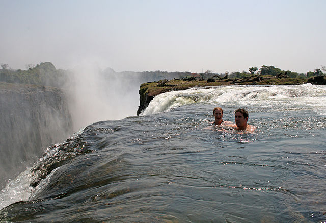
The Victoria Falls constitutes one of the most spectacular natural wonders of the world. While it is neither the highest nor the widest waterfall in the world, it is classified as the largest, based on its width of 1,708 metres (5,604 ft) and height of 108 metres (354 ft), resulting in the world's largest sheet of falling water. An average of 550,000 cubic metres of water plummets over the edge every minute.
The river's annual flood season is February to May with a peak in April. At that time it is impossible to see the foot of the falls and most of its face, and the walks along the cliff are in a constant shower and mist.
David Livingstone, is believed to have been the first European to view Victoria Falls in 1855. Livingstone named his discovery in honour of Queen Victoria, but the indigenous name, Mosi-oa-Tunya continues in common usage as well.
Victoria Falls are on the border of Zambia and Zimbabwe so can visit the falls from both sides. On Zimbabwen side the Victoria Falls town is right next to the falls. On Zambian side the town of Livingstone is about 10km from the falls. On both sides the taxis are fairly cheap so getting around will be no problem. It is also possible to cross the border if you´d like to visit both countries.
You can get to Victoria Falls or Livingstone by plane, train, bus or own car. The roads however are generally not very good. The best road from Zimbabwen side is the road from Bulawayo.
Entrance fee to see the falls is $30 for international visitors.