


Location
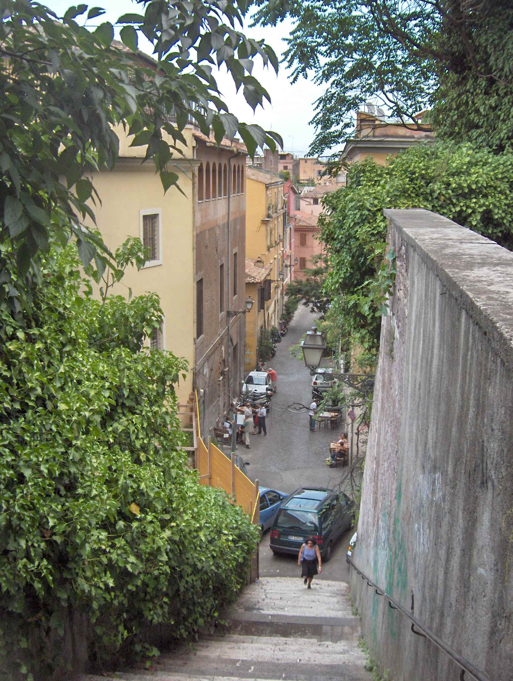
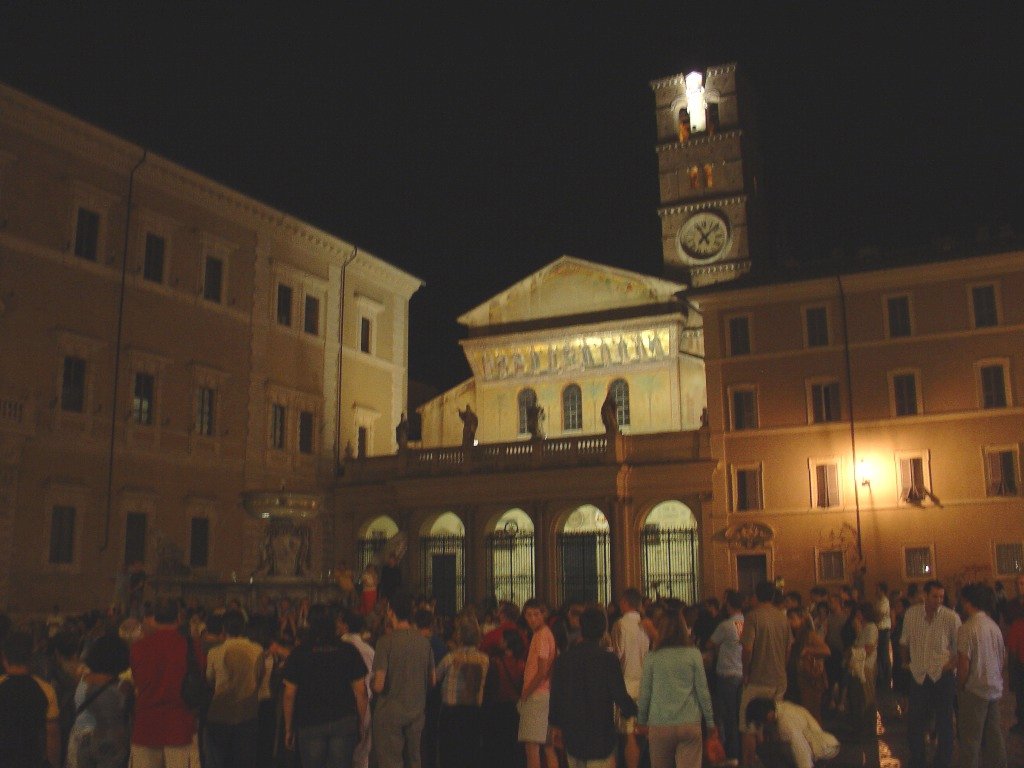
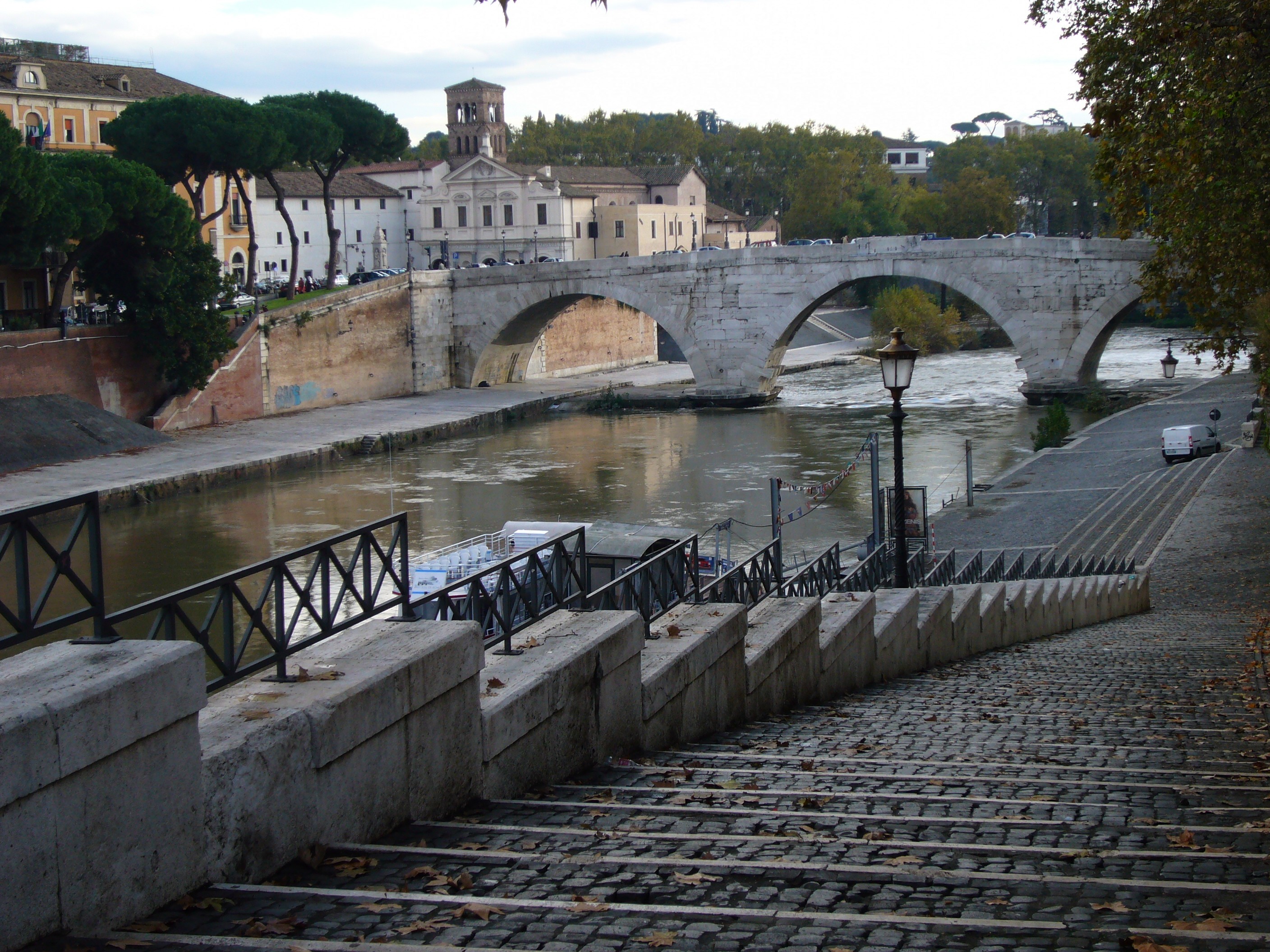
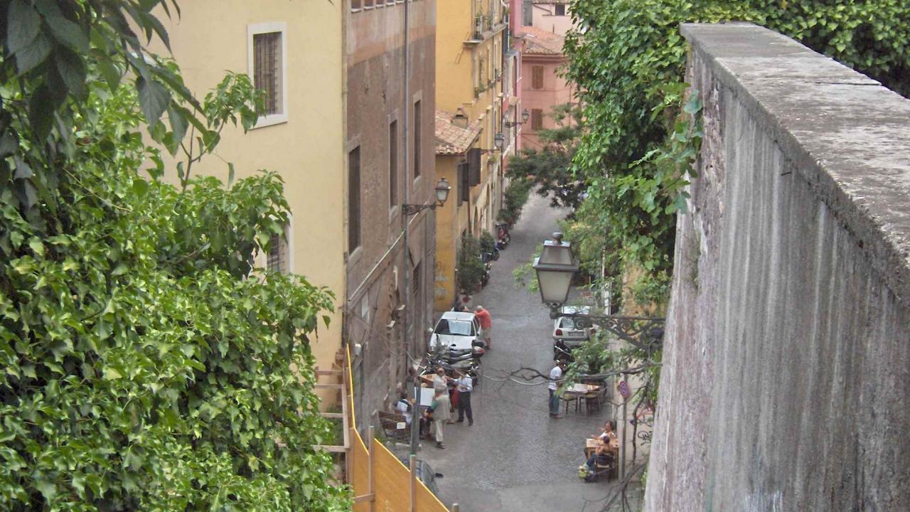
Trastevere is a picturesque neighbourhood in Rome, located on the west bank of the river Tiber. Before Rome was even founded, this area was inhabited by the Etruscans. The district's name derives from the Latin words private://Trans Tiberimprivate://: beyond the Tiber River. During the period of the Roman Republic, the area was the center of Jewish community in this part of the world. The buildings standing today are mostly from the late middle ages. Today, the area is mostly residential and characterized by narrow, cobbled streets and medieval-era dwellings. There is an ample selection of lively restaurants, bars, and cafés filled with locals and visitors. The night clubs also make Trastevere one of the centers of Roman night life. Trastevere has traditionally attracted artists, so it's possible to find unique gifts in its boutiques and studios. The center of public life in the neigbhorhood is the Piazza di Santa Maria in Trastevere, a large square outside of the church of Santa Maria in Trastevere.
Trastevere is the 13th rione(district) of Rome, located on the west bank of the Tiber. Tram line 8 from piazza Venezia or the Roma Trastevere railway station takes you there.
The prices in restaurants and bars in this area are average or even lower than in other parts of Rome.