Temple Basin

Location

West Coast
New Zealand
42° 55' 14.9736" S, 171° 40' 27.1452" E
NZ
General info: 

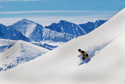
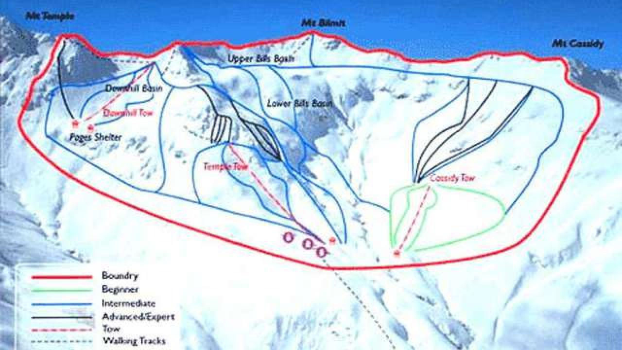
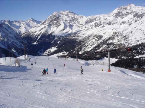
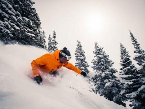
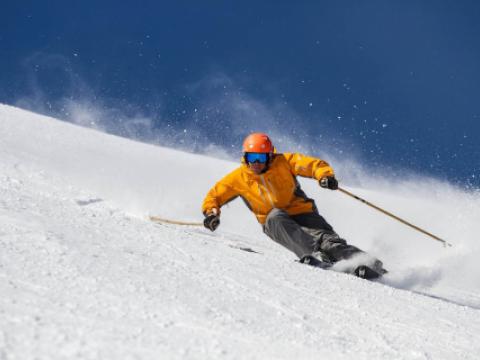
Temple Basin is located on the Main Divide of the Southern Alps at the heart of Arthur's Pass National Park. It faces north-west and offers long sunny days over 320 hectares of skiable terrain with a vertical drop of 430 meters. The car park is located beside State Highway 73 and is a 45 minute walk in good conditions from the ski field.

BASE: 1326ft
SUMMIT: 1922ft
VERTICAL DROP: 430ft

NO. OF. LIFTS: 4
Gondolas: 0
Chairs: 0
Surface: 4

You might be interested in

The main village of Valmalenco is situated at 1000 m above the sea level; surrounded by forests and streams flowing close to it since it is the meeting point of two of them: Lanterna and Mallero.

Chur, the oldest city of Switzerland, possesses an own winter sports area on the local mountain. The high plateau (1600 metres above sea level) is achievable by ropeway, directly from the city.

The Cimone, 2165 meters high, 70 kilometres south of Modena, is not only the highest mountain in the northern Apennines, but the most popular ski resort in the Apennines of Tuscany and Emilia, one of the most fully equipped in Italy, as

BASE: 3280ft
SUMMIT: 6561ft
VERTICAL DROP: 3280ft

NO. OF. LIFTS: 23
Gondolas: 3
Chairs: 10
Surface: 10

Copper Mountain is within shuttle range of Denver International Airport (75 miles) and a lot of skiers/riders like to fly in early so they can get on the slopes by noon.

Located in the legendary ski town of Park City, The Canyons Resort is one of North America's largest single ski and snowboard resorts, with an endless number of options.