Temple Basin

Location

West Coast
New Zealand
42° 55' 14.9736" S, 171° 40' 27.1452" E
NZ
General info: 

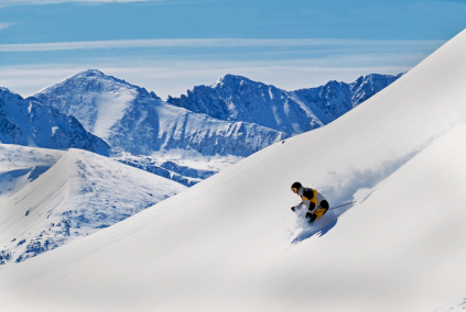
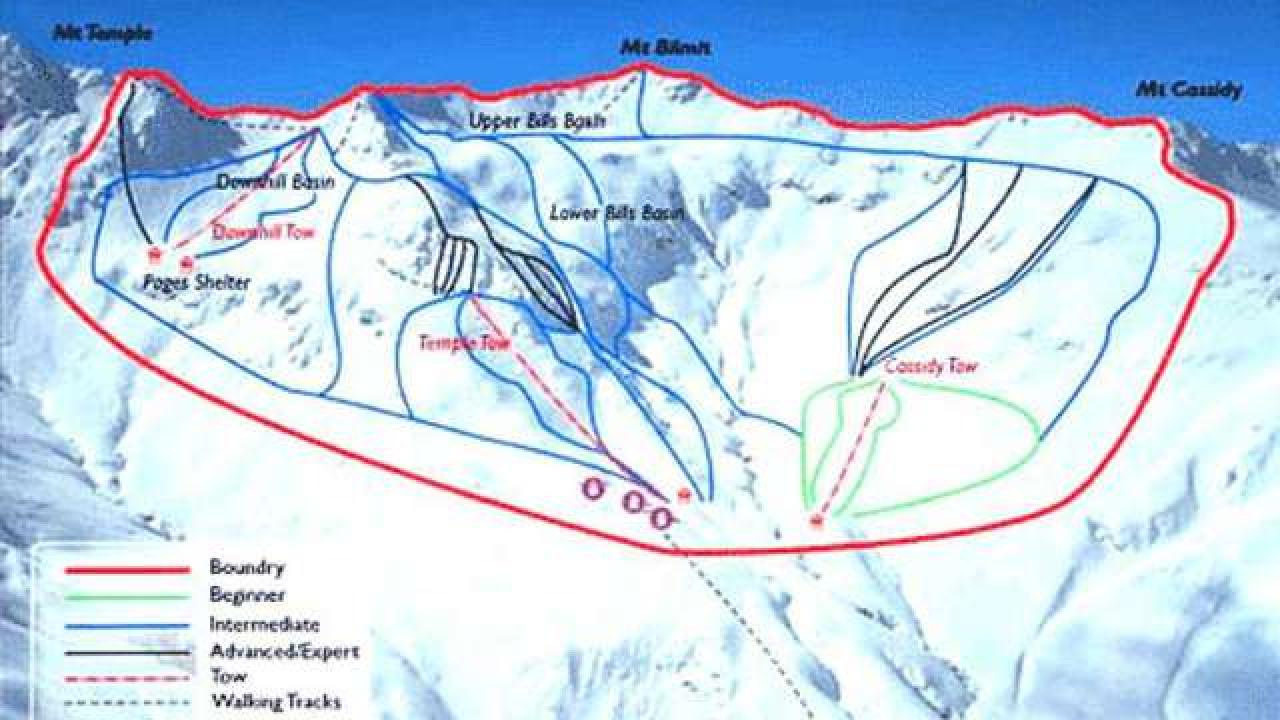
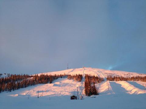
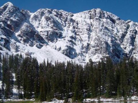
Temple Basin is located on the Main Divide of the Southern Alps at the heart of Arthur's Pass National Park. It faces north-west and offers long sunny days over 320 hectares of skiable terrain with a vertical drop of 430 meters. The car park is located beside State Highway 73 and is a 45 minute walk in good conditions from the ski field.

BASE: 1326ft
SUMMIT: 1922ft
VERTICAL DROP: 430ft

NO. OF. LIFTS: 4
Gondolas: 0
Chairs: 0
Surface: 4

You might be interested in

Nestling in a unique mountain scenery, Davos is the highest town in Europe and also one of its largest winter sports areas. The ski resort offers varied slopes ranging from an altitude of 1,560 to 2,844 m.

The slopes in the ski area Disentis 3000 are well-groomed and very diverse. Most of the pistes are rather steep but still not too demanding. A 12 km long slope starting at the Péz Ault spans 1700 m of altitude.

BASE: 229ft
SUMMIT: 1148ft
VERTICAL DROP: 918ft

NO. OF. LIFTS: 3
Gondolas: 0
Chairs: 1
Surface: 2

BASE: 1561ft
SUMMIT: 2700ft
VERTICAL DROP: 1138ft

NO. OF. LIFTS: 6
Gondolas: 0
Chairs: 0
Surface: 6

Durango Mountain Resort, known forever to locals only as private://Purgatory,private:// is a four-season resort bounded by spired peaks on three sides and high desert to the south. The Animas River bisects the town.

Eikedalen ski resort is located 55km from downtown Bergen, a drive that takes only 45 minutes. The ski resort is situated at Kvamskogen, which is the major starting point for skiers in the area in winter.