Temple Basin

Location

West Coast
New Zealand
42° 55' 14.9736" S, 171° 40' 27.1452" E
NZ
General info: 

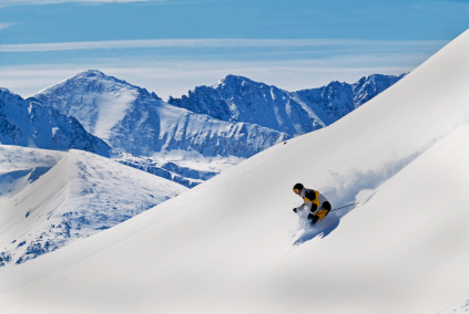
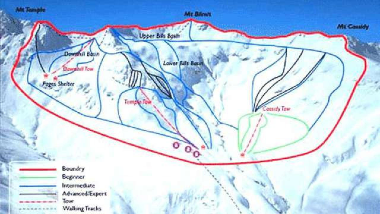
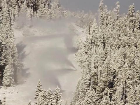
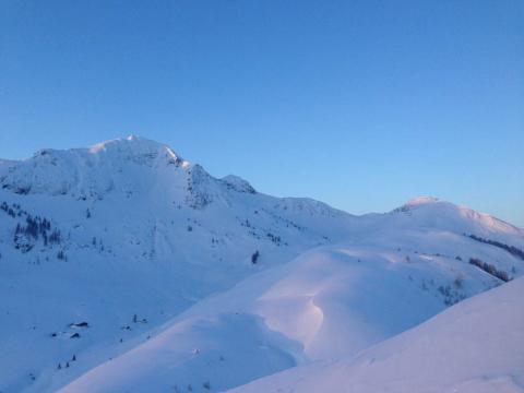
Temple Basin is located on the Main Divide of the Southern Alps at the heart of Arthur's Pass National Park. It faces north-west and offers long sunny days over 320 hectares of skiable terrain with a vertical drop of 430 meters. The car park is located beside State Highway 73 and is a 45 minute walk in good conditions from the ski field.

BASE: 1326ft
SUMMIT: 1922ft
VERTICAL DROP: 430ft

NO. OF. LIFTS: 4
Gondolas: 0
Chairs: 0
Surface: 4

You might be interested in

Gaustablikk is situated at the foot of Gaustatoppen, the highest mountain in Southern Norway. Gaustablikk ski resort has 28 runs and 12 ski lifts. Gaustablikk has hotel, apartments, cabins and chalets.

Eldora opened for skiing in 1962. The summit elevation of 10,800 feet means there is plenty of natural snow. There are 680 acres of skiable terrain with the longest run three miles long.

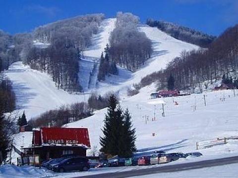
Fackovske Sedlo is a part of the Malá Fatra mountains. It is situated between the Strážovské mountains and Low Fatra. The highest peak around is Klak -1351 meters.

There are lots of well-groomed slopes suitable for all levels of difficulty in Germany’s largest ski area, the Skiarena Fellhorn/Kanzelwand.

The ski area is three miles from the town of Fernie in southeastern British Columbia on the west side of the Canadian Rockies.

The snow eldorado Fieberbrunn is renowned for its great slopes and deep snow runs which you can access directly from the mountain station. Wide modern carving runs at an altitude of up to 2020 m.