Temple Basin

Location

West Coast
New Zealand
42° 55' 14.9736" S, 171° 40' 27.1452" E
NZ
General info: 

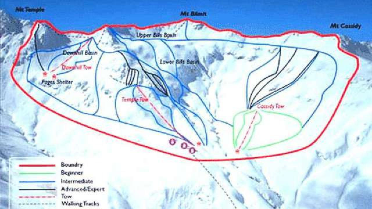
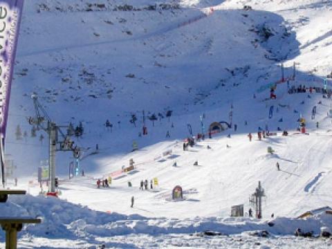
Temple Basin is located on the Main Divide of the Southern Alps at the heart of Arthur's Pass National Park. It faces north-west and offers long sunny days over 320 hectares of skiable terrain with a vertical drop of 430 meters. The car park is located beside State Highway 73 and is a 45 minute walk in good conditions from the ski field.

BASE: 1326ft
SUMMIT: 1922ft
VERTICAL DROP: 430ft

NO. OF. LIFTS: 4
Gondolas: 0
Chairs: 0
Surface: 4

You might be interested in

Do you want to enjoy the spirit of a real winter? Skiing, snow boarding sledding, cross-country skiing, snowshoeing or just going for a walk in an astonishing winter landscape? Then you are looking at the right place.

The Adamello Ski area is a land spanning Valle Camonica (Lombardy) and Val di Sole (Trentino) with a skiing carousel made up of 100 km of ski runs which are all linked one to the other.

Two typically Pyrenean villages. Discover an exceptional environment in the heart of the Parc National des Pyrénées, a setting where the association between man and nature has been recognised as a world heritage site by UNESCO.

Whether you want to enjoy the view of snow covered mountains or challenge your alpine abilities, Gol/Golsfjellet provides everything you need.

BASE: 1640ft
SUMMIT: 2952ft
VERTICAL DROP: 1312ft

NO. OF. LIFTS: 3
Gondolas: 0
Chairs: 0
Surface: 3

Ski resort ideally suited for families - the perfectly prepared slopes with snow making systems stretch down into the valley (Vandans) and include deep powder snow as well as a world-cup run.