Temple Basin

Location

West Coast
New Zealand
42° 55' 14.9736" S, 171° 40' 27.1452" E
NZ
General info: 

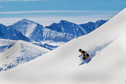
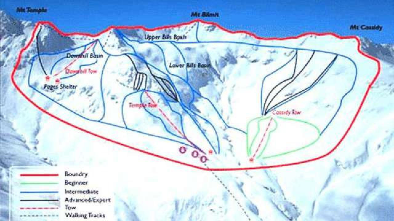
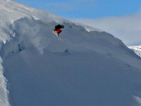
Temple Basin is located on the Main Divide of the Southern Alps at the heart of Arthur's Pass National Park. It faces north-west and offers long sunny days over 320 hectares of skiable terrain with a vertical drop of 430 meters. The car park is located beside State Highway 73 and is a 45 minute walk in good conditions from the ski field.

BASE: 1326ft
SUMMIT: 1922ft
VERTICAL DROP: 430ft

NO. OF. LIFTS: 4
Gondolas: 0
Chairs: 0
Surface: 4

You might be interested in

Hafjell is located 15km north of Lillehammer, and is an Olympic arena with a wide variety of runs. 16 ski lifts provide access to a total of 40,5km of slopes, and the longest run is 7,5km long.

Hallingskarvet is a complete ski resort with good facilities for alpine skiing, Telemark skiing, Nordic skiing and snowboarding.

BASE: 787ft
SUMMIT: 2690ft
VERTICAL DROP: 1902ft

NO. OF. LIFTS: 6
Gondolas: 0
Chairs: 0
Surface: 6

The ski resort Harrachov is ideal for skiing, snowboarding and cross-country skiing. For skiers and snowboards are ready daily-prepared slopes of all difficulties.

BASE: 492ft
SUMMIT: 1509ft
VERTICAL DROP: 1017ft

NO. OF. LIFTS: 8
Gondolas: 0
Chairs: 0
Surface: 8

Haukelifjell ski resort has 6 ski lifts + a magic carpet (free) and 13 runs of varying difficulty. The total length of the skiable area is 15 kilometres, and the drop is 305 metres and the longest piste is 3000 meters.