Temple Basin

Location

West Coast
New Zealand
42° 55' 14.9736" S, 171° 40' 27.1452" E
NZ
General info: 

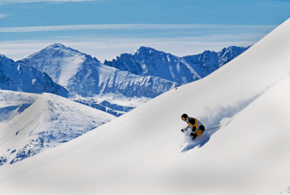
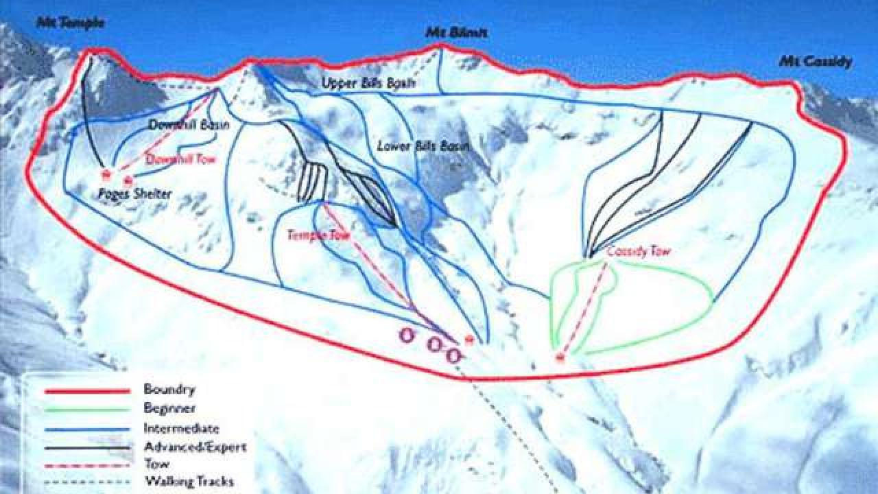
Temple Basin is located on the Main Divide of the Southern Alps at the heart of Arthur's Pass National Park. It faces north-west and offers long sunny days over 320 hectares of skiable terrain with a vertical drop of 430 meters. The car park is located beside State Highway 73 and is a 45 minute walk in good conditions from the ski field.

BASE: 1326ft
SUMMIT: 1922ft
VERTICAL DROP: 430ft

NO. OF. LIFTS: 4
Gondolas: 0
Chairs: 0
Surface: 4

You might be interested in

The town is located in a sunny position on the alluvial cone of the Rio de Vael and is the seat of the 'Institute for the Ladin Culture'.

While everyone in the family will enjoy the terrain at Willamette, advanced skiers will pick eight black diamond runs. There's night skiing and a 1,563-foot vertical drop.

Perfectly positioned next to the Continental Divide, Winter Park has the distinct advantage of being able to catch winter storms from nearly every direction. Western and southern storms get private://trappedprivate:// by the Divide.

Wolf Creek is a high alpine ski resort, 10,300 feet at the base and 11,900 feet at the summit, located in southern Colorado on scenic U.S. Highway 160.

Whitecap Mountain is a four-season resort is located in the heart of the ancient Penokee Mountains. It is one of Wisconsin's largest ski resorts with a vertical drop of 400 feet and skiing and riding available on 400 acres.

The Swiss ski resort Wengen is surrounded by the mountains Eiger, Mönch, Jungfrau and Lauberhorn. It offers slopes of all difficulty levels.