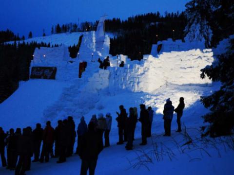
Temple Basin

Location

West Coast
New Zealand
42° 55' 14.9736" S, 171° 40' 27.1452" E
NZ
General info: 

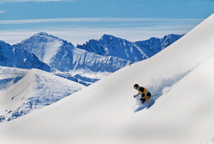
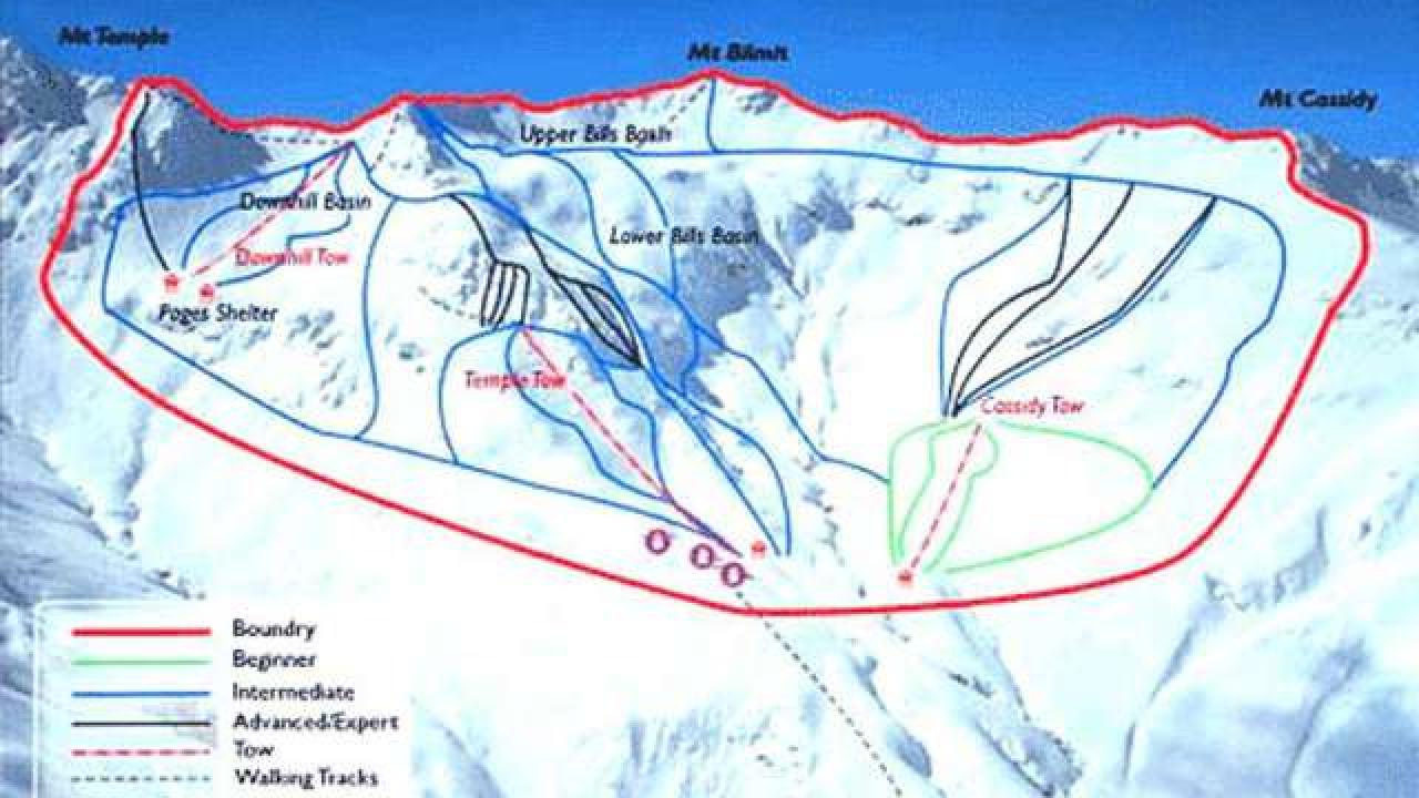
Temple Basin is located on the Main Divide of the Southern Alps at the heart of Arthur's Pass National Park. It faces north-west and offers long sunny days over 320 hectares of skiable terrain with a vertical drop of 430 meters. The car park is located beside State Highway 73 and is a 45 minute walk in good conditions from the ski field.

BASE: 1326ft
SUMMIT: 1922ft
VERTICAL DROP: 430ft

NO. OF. LIFTS: 4
Gondolas: 0
Chairs: 0
Surface: 4

You might be interested in

Mammoth Mountain Ski Area boasts the highest elevation, 11,053’, for skiing and snowboarding in the state of California.

Massanutten Resort in winter means days spent on a 1,100-foot vertical drop with great views of the Blue Ridge mountains. Ski down the 3,300- foot Diamond Jim or the 4,100-foot Para-dice.

A winter playground just 20 minutes from the town of Jasper, Marmot Basin offers 86 trails, 1,675 acres of skiable Rocky Mountain terrain, and some runs stretching up to 3.5 miles.

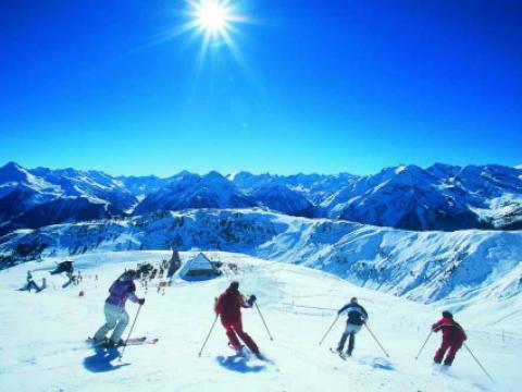
The offers in the ski area Mayrhofner Bergbahnen with its two mountains, the Penken (2095 m) and the Ahorn, range from untouched powder snow hillsides to very well groomed slopes covering all levels of difficulty: on the one hand demandi

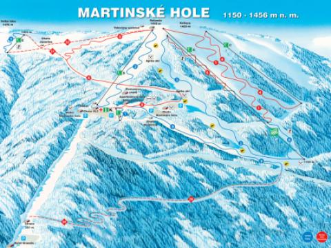
Ski resort Winter Park Martinky (Martinské Hole) is located in the Small Fatra, directly above the town of Martin. Skiing in this resort has a long tradition. Excellent location of Winter Park Martinky ensures good snow conditions.

BASE: 2493ft
SUMMIT: 2788ft
VERTICAL DROP: 295ft

NO. OF. LIFTS: 2
Gondolas: 0
Chairs: 0
Surface: 2