Temple Basin

Location

West Coast
New Zealand
42° 55' 14.9736" S, 171° 40' 27.1452" E
NZ
General info: 

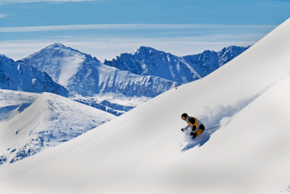
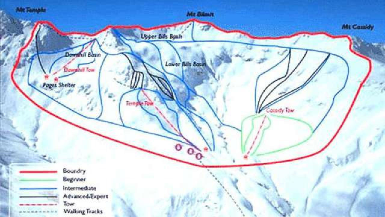
Temple Basin is located on the Main Divide of the Southern Alps at the heart of Arthur's Pass National Park. It faces north-west and offers long sunny days over 320 hectares of skiable terrain with a vertical drop of 430 meters. The car park is located beside State Highway 73 and is a 45 minute walk in good conditions from the ski field.

BASE: 1326ft
SUMMIT: 1922ft
VERTICAL DROP: 430ft

NO. OF. LIFTS: 4
Gondolas: 0
Chairs: 0
Surface: 4

You might be interested in

There are more than 350 km of prepared tracks in the Sjusjoen area, of which about 100 km are prepared for ski skating. The snow conditions are always stable from November and through to the end of April.

Steamboat is a ski resort located 160 miles to the northwest of Denver, CO, and features a ski town that may be just as fun as the actual mountain.

Welcome to Skeikampen, a winter resort in magnificent high mountain-surroundings.

BASE: 2936ft
SUMMIT: 3520ft
VERTICAL DROP: 583ft

NO. OF. LIFTS: 2
Gondolas: 0
Chairs: 0
Surface: 2

Since 1995 exists Skidome Rucphen. The skidome has a 160meters long and 25 m wide slope with real snow. Afterwards visitors can enjoy the Stube, the bar or the restaurant.

Ski Brule in Iron River, Mich.