Temple Basin

Location

West Coast
New Zealand
42° 55' 14.9736" S, 171° 40' 27.1452" E
NZ
General info: 

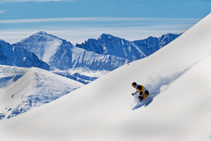
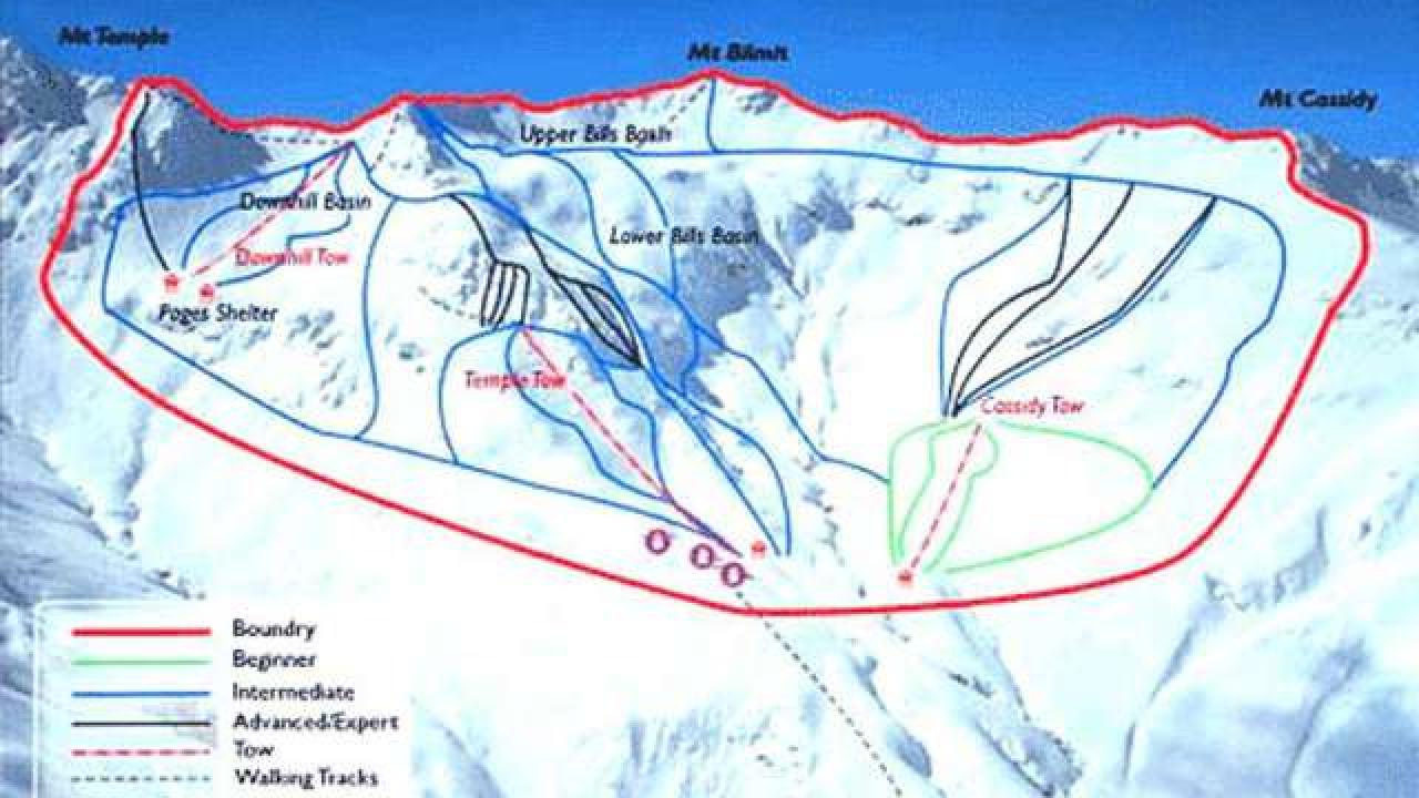
Temple Basin is located on the Main Divide of the Southern Alps at the heart of Arthur's Pass National Park. It faces north-west and offers long sunny days over 320 hectares of skiable terrain with a vertical drop of 430 meters. The car park is located beside State Highway 73 and is a 45 minute walk in good conditions from the ski field.

BASE: 1326ft
SUMMIT: 1922ft
VERTICAL DROP: 430ft

NO. OF. LIFTS: 4
Gondolas: 0
Chairs: 0
Surface: 4

You might be interested in

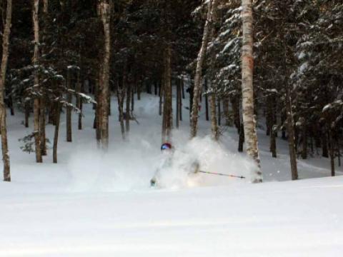
Sugarbush, located in Northern Vermont's Mad River Valley, is one of Vermont's favortie ski areas. Sugarbush consits of two mountains, Mt.

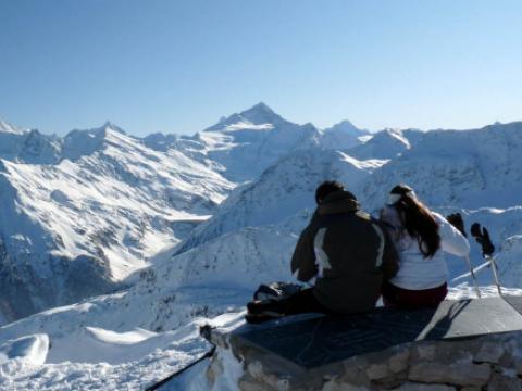
St Luc/Chandolin is one of the 4 skiing areas that makes up the ski resort Val d'Anniviers. The whole area boasts 220 km of pistes covered by a single ski pass, with runs from 1,340 to 3,000m above sea level.

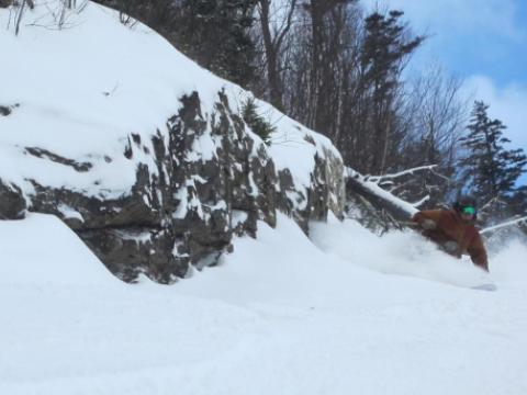
Sugarloaf has challenging terrain, its snowfields are legendary, and its halfpipe is one of the largest in the country. Sugarloaf has the only lift-served above-treeline skiing in the East.

BASE: 3083ft
SUMMIT: 3769ft
VERTICAL DROP: 685ft

NO. OF. LIFTS: 3
Gondolas: 0
Chairs: 0
Surface: 3

Sunday River, located in Newry, Maine, has 133 trails and 16 lifts spread out across 743 skiable acres on 8 interconnected mountain peaks.

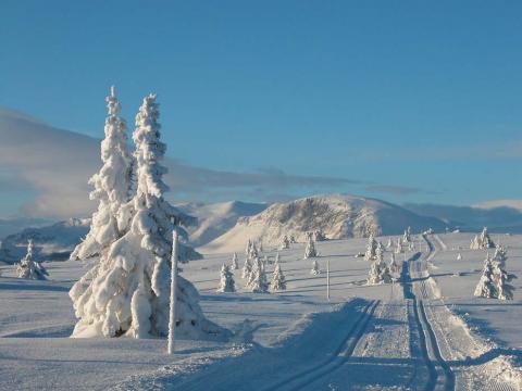
Strandafjellet Skiresort is located east in the magnificent private://Alps og Sunnmoreprivate://,in the western part of Norway.