Temple Basin

Location

West Coast
New Zealand
42° 55' 14.9736" S, 171° 40' 27.1452" E
NZ
General info: 

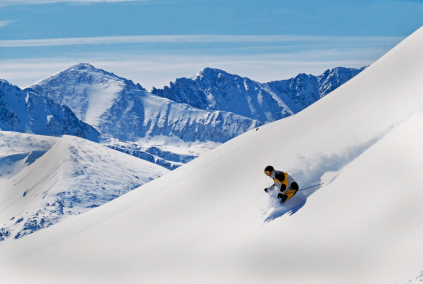
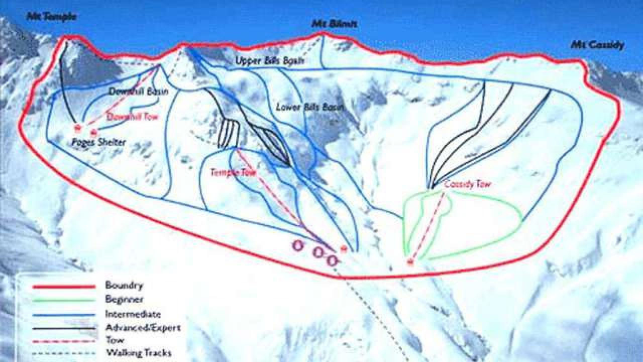
Temple Basin is located on the Main Divide of the Southern Alps at the heart of Arthur's Pass National Park. It faces north-west and offers long sunny days over 320 hectares of skiable terrain with a vertical drop of 430 meters. The car park is located beside State Highway 73 and is a 45 minute walk in good conditions from the ski field.

BASE: 1326ft
SUMMIT: 1922ft
VERTICAL DROP: 430ft

NO. OF. LIFTS: 4
Gondolas: 0
Chairs: 0
Surface: 4

You might be interested in

Timber Ridge has the highest natural vertical rise in Southwest Michigan and the skiing and riding is spread over 50 acres.

BASE: 610ft
SUMMIT: 850ft
VERTICAL DROP: 240ft

Timberline Four Season Resort is an old West Virginia favorite. The ski area provides skiers and snowboarders a peak elevation of 4,268 feet, 200 inches of average annual snowfall and a vertical drop of 100 feet.

BASE: 1968ft
SUMMIT: 2591ft
VERTICAL DROP: 623ft

NO. OF. LIFTS: 1
Gondolas: 0
Chairs: 0
Surface: 1

BASE: 4708ft
SUMMIT: 6069ft
VERTICAL DROP: 0ft

NO. OF. LIFTS: 5
Gondolas: 0
Chairs: 3
Surface: 2

Tremblant sits at 2871 feet in elevation in the Laurentians of Quebec, and is often referred to as the premier European Resort in North America.

Taos Ski Valley is know for it's rugged, authentic terrain in the Sangre de Cristo mountain range of New Mexico.