Ramona Falls

TomassoRizzi's picture

Location

Oregon
United States
45° 22' 47.424" N, 121° 46' 33.276" W
US
General info: 

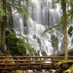
Ramona Falls drops 120 feet, cascading and splitting into ever smaller drapes broken up by the hexagonal columns of basalt at the base of the cliff. The special shape of the columnar basalt was formed in a lava eruption.

There is an 11,7km long loop trail to the falls. The south leg of the loop is less scenic but the north leg after the falls really enjoyable following the lush, green path of Ramona Creek and skirting towering cliffs before veering south to head back towards the trailhead.

Getting there: 

There is an 11,7km long loop trail to the falls. The trail is moderate difficulty and takes about half a day to hike (4-6 hours). The trailhead is at the end of Muddy Fork Road and features a big gravel parking area.

NOTE: Not recommended to hike this trail during winter because a critical, temporary bridge early in the trail is removed each winter.

Costs: 

National Forest Recreation Pass - $5.00

You might be interested in

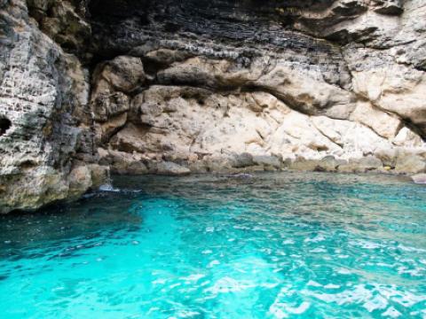
The Dead Sea is the saltiest sea in the world with 34,2% salinity. Practically this means that swimming here becomes floating.

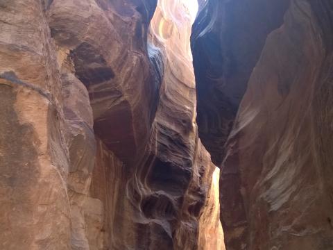
The Siq a dramatic and awe-inspiring natural rock formation that works as the main entrance to the ancient Nabatean city of Petra.

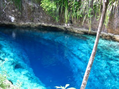
A secluded 100-feet-deep freshwater pool so pristine that it glimmers with a shade of cobalt blue. Might be paradise but in fact it is Dudu Blue Lagoon.

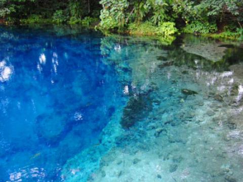
Nanda Blue Hole is the most stunning blue hole in Vanuatu. The water of this natural spring is so magically deep blue that has to be seen to be believed.

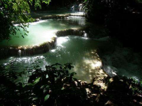
The Kuang Si Falls is a three tier travertine waterfall about 29 kilometres south of Luang Prabang. The falls begin in shallow pools atop a steep hillside. These lead to the main fall with a 60 metres (200 ft) cascade.

A magically clear and blue river that springs from an underground cave system. The photos from the place seem photoshopped but once you get there, you understand it is a real thing.

Interesting places nearby

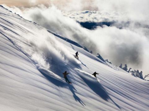
Mt. Bachelor, located just minutes from Bend, Sunriver and Sisters, OR, is one of the Pacific Northwest’s largest ski areas. Mt. Bachelor has nearly 3,700 acres of skiable terrains, with every type of terrain available. Mt.

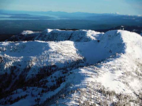
Nestled into the Beaufort Mountain range overlooking Vancouver Island and The Pacific, Mount Washington is a true snow collector, averaging more than 30 feet of snow every season.

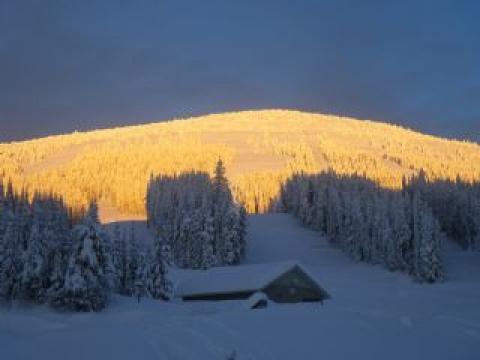
Mt. Baldy is a ski area located in British Columbia and known for their abundance of powder and tree skiing and snowboarding.

The Mount Shasta Board and Ski Park is located about 6 miles south of California’s 14,162’ stratovolcano Mount Shasta, in the Cascade Mountain Range of North America’s Pacific Northwest.

The BC Mountaineering Club recorded the first climb of Mount Seymour in 1908. The Mount Seymour Provincial Park was established with a total of 677 acres in 1936. Mount Seymour Resorts Ltd.

Mt. Ashland, just north of the California border, is halfway between San Francisco and Portland, eight 8 miles off Interstate 5.