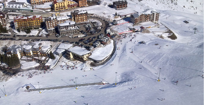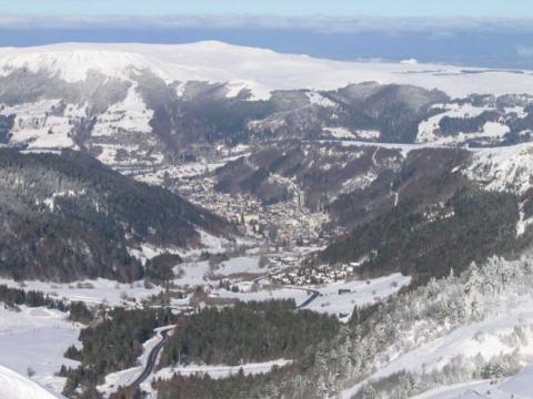

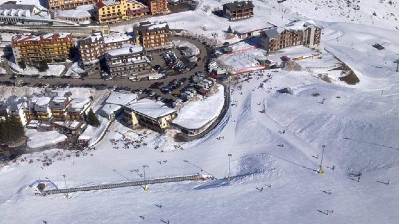
Location
With 6 lift systems, chair-lifts and ski-lifts connected together and 50 km of well-prepared slopes running between altitudes of 1535 and 2700 metres, which offer thrilling descents for both beginners and expert skiers, picturesque Pragelato is definitely one of the most appreciated skiing centres of the whole Piemonte alpine arc. It is also possible to reach the ski runs of the Via Lattea district, also leaving from Pragelato with the modern Pattemouche-Anfiteatro cableway. Its slopes offer thrilling off-piste skiing in fresh snow or with spring snow, while difference routes which travel through fascinating landscapes inside the Val Troncea Nature Park create a strong attraction for cross-country skiing enthusiasts, who will find an opportunity to test their skills against the tracks used for the Torino 2006 Winter Olympics (cross-country skiing, Nordic combined and ski jumping). Recognised as one of the most technical and difficult circuits at international level, the Pragelato cross-country skiing circuit has an average width of 6 metres, covering differences in altitude of between 90 and 250 metres, and lengths of 2.5, 5 and 10 km, which make it ideal for every kind of competition. There are two courses: Pragelato – Val Troncea 1, Pragelato – Val Troncea 2. The first winds for a length of 7.5 km and covers a difference in altitude of 200 metres; it travels along the Via da Plan, which hosts the Cross-country stadium (cross-country foyer, ski waxing room, changing rooms and showers, equipment testing area, warm-up track, race office and timing cab) continuing along the initially flat valley and reaching Pattemouche. The second leads from Plan (1570 m) to Pragelato (1524 m), along a rather simple track; the circuit closes with the return on the opposite slope of the valley, the right, comprising several possible deviations which are slightly harder. A last route, Pragelato – Bergeria del Meys, is represented by a 15 km-long beaten track circuit (with 10 -12 km variants), covering a difference in altitude of 550 metres; starting from Pragelato and stretching with a flat part long the valley floor, as far as Pattemouche, where it enters Val Troncea, before tocìuching Bergeria del Meys at over 2000 metres.
BASE: 5036ft
SUMMIT: 8464ft
VERTICAL DROP: 3428ft
NO. OF. LIFTS: 4
Gondolas: 0
Chairs: 1
Surface: 3
DAY PASS ADULTS weekday: €34.00
DAY PASS CHILDREN weekday: €5.00
We recommend to confirm the latest prices from the resorts website as the prices might have changed after last update.