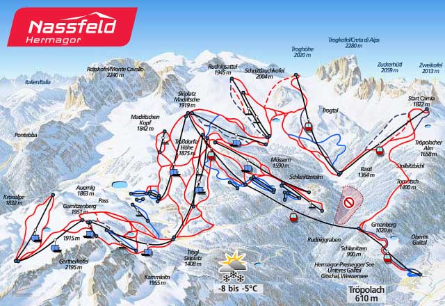
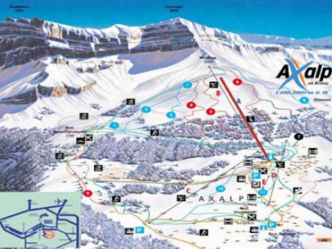
Nassfeld Hermagor

KarlH's picture

Location

Hermagor-Pressegger See
Austria
46° 35' 7.0008" N, 13° 15' 25.002" E
AT
General info: 

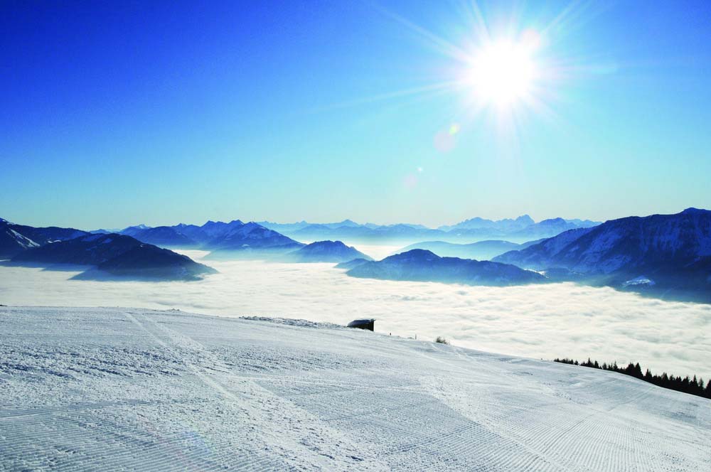
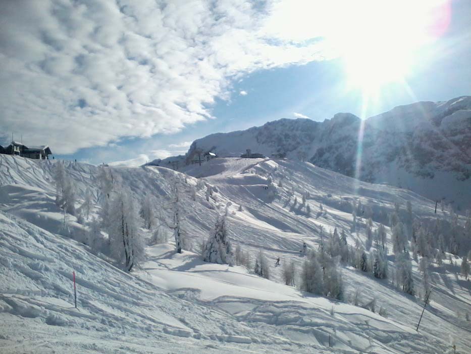
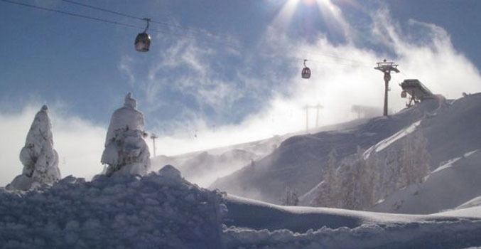
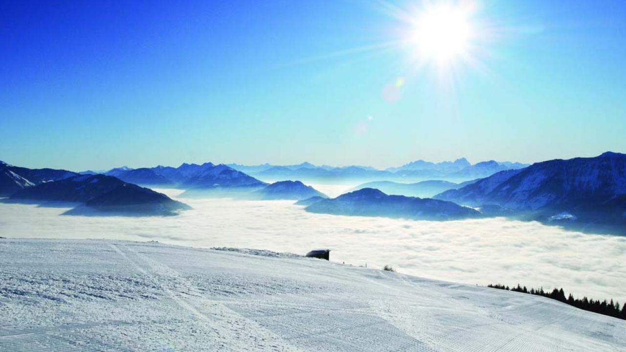
The ski area Nassfeld Hermagor in the Karnisch Alps is located on an anticline between the Austrian Gailtal and the Italian Kanaltal. The pass summit lies on 1552 m altitude. Surrounding mountains are the Gartnerkofel (2195 m), the Roßkofel (2239 m) and the Trogkofel (2280 m). The ski area Nassfeld Hermagor is directly located on the pass summit and is the largest ski area in Carinthia. Even during the winter the guests can enjoy a lot of sunshine hours, above the Alp’s average. Next to perfectly groomed slopes, the ski area also offers a generous free ride area.

BASE: 2001ft
SUMMIT: 6627ft
VERTICAL DROP: 4625ft
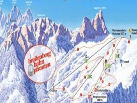
NO. OF. LIFTS: 30
Gondolas: 5
Chairs: 8
Surface: 17

Costs: 

DAY PASS ADULTS weekday: €39.00
DAY PASS ADULTS weekend: €42.00
6 DAYS ADULTS: €191.00

We recommend to confirm the latest prices from the resorts website as the prices might have changed after last update.

Interesting places nearby

The ski area Breitenberg-Hochalpe is the largest and most snow reliable ski area in the Ostallgäu. A modern skyride takes you to the ski circuit Hochalp on an altitude of 1200 m to 1600 m.

Brides-les-bains, experience the 3 Valleys in a new way: fresh air, cosy and friendly atmosphere, far from the purpose-built and crowded areas.

Located high above Lake Brienz, the Axalp ski area is snow-sure with varied terrain and alternatives including a sledge run and natural ice rink.

BASE: 4593ft
SUMMIT: 6561ft
VERTICAL DROP: 1968ft

The Swiss villages Waltensburg, Andiast and Brigels/Breil are located on a sunny terrace above the Rheintal.

Quiet mountainside village across the valley from verbier, plans for major lift expansion from here towards a fifth valley.

BASE: 3618ft
SUMMIT: 7322ft
VERTICAL DROP: 3704ft

Well known for nordic skiing and biathlon, Brusson is a first-level centre for international competitions. The slopes for the cross-country ski develop themselves along the Evançon river up to Extrepieraz, going through the Vollon flat.