Grande Strada delle Dolomiti

TomassoRizzi's picture

Location

Dolomites
Italy
46° 29' 14.6184" N, 11° 48' 48.078" E
IT
General info: 

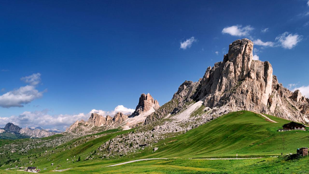
Want to see some spectacular views… by car? The Great Dolomite Road runs 65 miles through some of the finest alpine scenery in Europe: Belluno–Cortina d'Ampezzo–Pordoi Pass–Sella Pass–Val di Fassa–Bolzano. For even more gorgeous views, you can take a cable car up from the pass to the summit of Sass Pordoi. And, of course, there are plenty of hiking trails!

At 7,346 feet it is the highest surfaced road traversing a pass in the Dolomites. In the spring and early summer, passes labeled private://closedprivate:// are often bare, dry, and, as far as local drivers are concerned, wide open. Conveniently for Italian tour operators, no direct public transportation route covers the Great Dolomite Road.

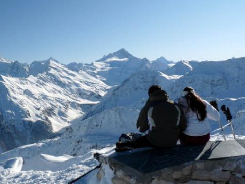
The Sass Pordoi cable car takes you in few minutes from the Pordoi Pass to the summit of Sass Pordoi, where a beautiful view of all the Dolomites is available all around you.
You can get to the summit, perhaps eating at the restaurant, and descend again with the cable car, or you can descend by foot along one of the three following itineraries.

The Sass Pordoi is an ideal starting point for hikes to Piz Boe, to the mountain passes Gardena and Campolongo and to Colfosco through the Val Mezdi.

Getting there: 

No public transport through the entire route.

Costs: 

Cable car Sass Pordoi
Opening dates: 18.05 - 20.10
Opening times: 09.00 - 17.00
One way 8,5€, Return ticket 15€.


You might be interested in

This real-life Atlantis is a labyrinth of adorned temples, memorial arches and dragon carvings.

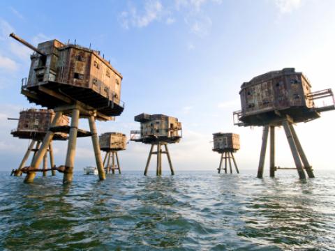
During the WWII, British army built small fortified towers along the Thames and Mersey estuaries in order to protect the United Kingdom from German invasion.

  • No more items

Interesting places nearby

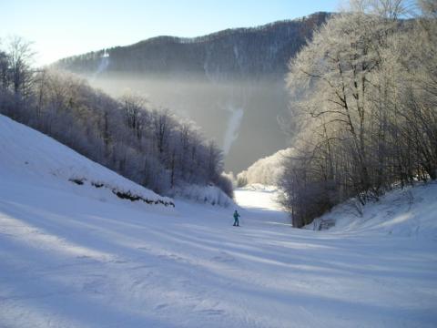
Ski Turecká / Krížna (Ski Turecká) is located in the Great Fatra Mountains, about 16 km away from the city of Banská Bystrica, behind the village of Turecká, on the southern slopes of Krížna mountain ( 1574 m).

High up and very snow safe in the Nockbergen, the ski resort Turracher Hoehe is located. Skiing season is normally settled between November and the beginning of May.

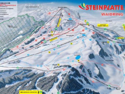
The ski area Steinplatte Waidring is located in the border triangle Tyrol, Salzburg, and Bavaria. The Steinplatte is a mountain range of the limestone Alps and reaches up to an altitude of 1869 m.

Snow white family fun . . . experiencing body and soul, experiencing the beauty of life! Great winter fun for the whole family, offered by one of the most traditional ski resorts of the Mühlviertel.

St Luc/Chandolin is one of the 4 skiing areas that makes up the ski resort Val d'Anniviers. The whole area boasts 220 km of pistes covered by a single ski pass, with runs from 1,340 to 3,000m above sea level.

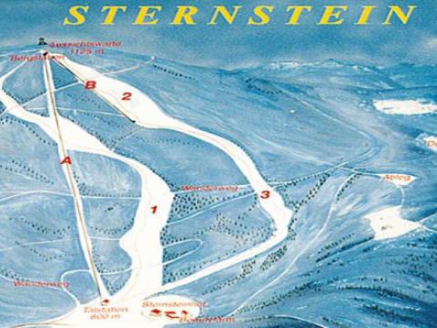
BASE: 1666ft
SUMMIT: 2099ft
VERTICAL DROP: 433ft

NO. OF. LIFTS: 1
Gondolas: 0
Chairs: 0
Surface: 1