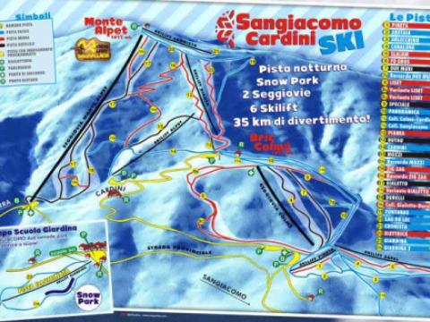
Location
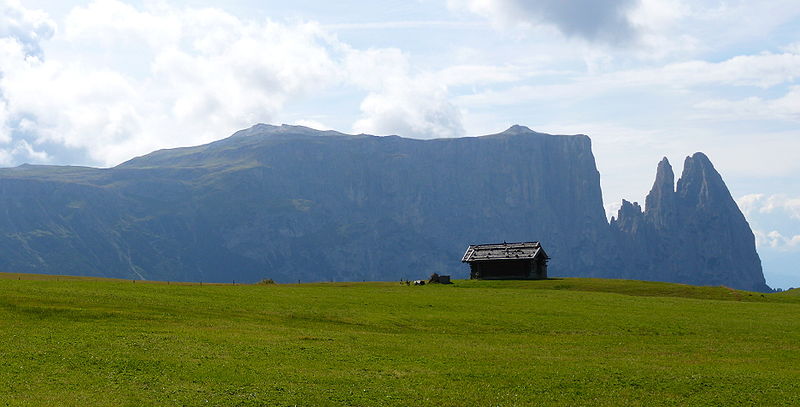
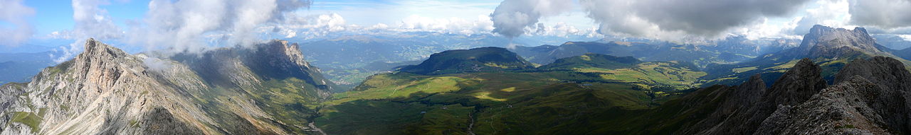
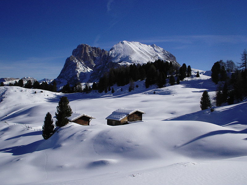
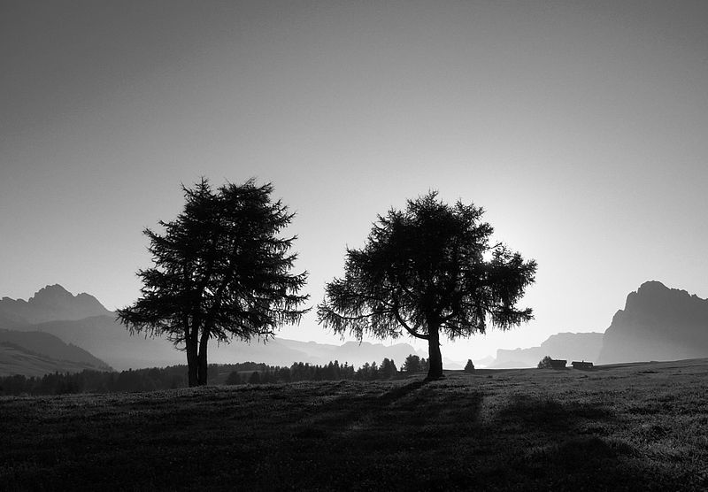
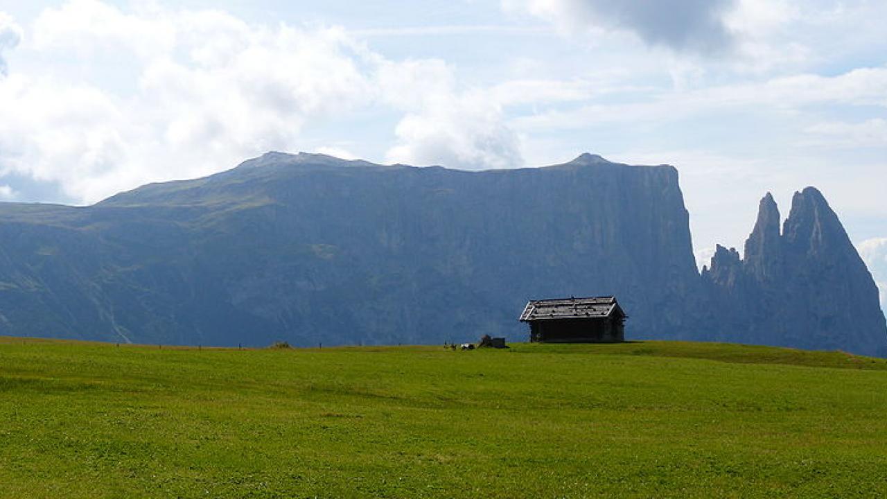
Europe's largest high alpine meadow, Alpe di Siusi, separates two of the most famous Dolomite ski-resort valleys (Val di Fassa and Val Gardena). Eight miles wide, 20 miles long, and soaring up to 6,500 feet high, Alpe di Siusi is dotted by farm huts and wildflowers (mid-June-July), surrounded by dramatic — if distant — Dolomite peaks and cliffs, and much appreciated by hordes of walkers. A natural preserve, the meadow is virtually car-free. Buses take hikers to and from key points along the tiny road, all the way to the foot of the postcard-dramatic Sasso peaks. Meadow walks are ideal for flower lovers and strollers, while chairlifts provide springboards for more dramatic and demanding hikes. The Alpe di Siusi is my recommended one-stop look at the Dolomites because of its easy accessibility to those with or without cars, the variety of walks and hikes, the quintessential Dolomite mountain views, and the charm of neighboring Castelrotto as a home base.
CAR The Alpe di Siusi region is easily accessible to all self-drivers. When entering Italy via the Brenner Pass, travel on the Brennero Motorway A22 towards Bolzano. Take the Chiusa-Val Gardena exit and arrive to the beautiful villages of Alpe di Siusi within 20 minutes. When travelling via the Resia Pass, continue to Bolzano, take the Brennero Motorway A22 towards Brennero and exit again in Chiusa/Val Gardena. Worth knowing: Since the Alpine pasture of Alpe di Siusi is part of the Sciliar Nature Park, strict rules control the traffic there. Only those whose accommodation lies right on the Alpine pasture are allowed to travel there by car. Everybody else is asked to take the new, convenient cable car of Siusi. TRAIN The capital of South Tyrol - Bolzano - is situated at one of the main European railway routes. So it can be reached easily from Munich and Innsbruck in the north as well as from Verona, Roma, Venice and Milano in the south. From Bolzano you can reach the most important valleys and villages by train, all other places by bus. More information to the public local traffic in South Tyrol you find here. AIR Nearby airports are: Verona (180 km) and Innsbruck, AUT (109 km) Even this summer you will find the range of convenient bus transfers connect-ing South Tyrol with the airports of Milano Malpensa, Bergamo and Verona as well as the airport of Munich (Germany). For more information visit www.suedtirol.info/transfer .